Terra✳
Finding the signal in a moving city.
2024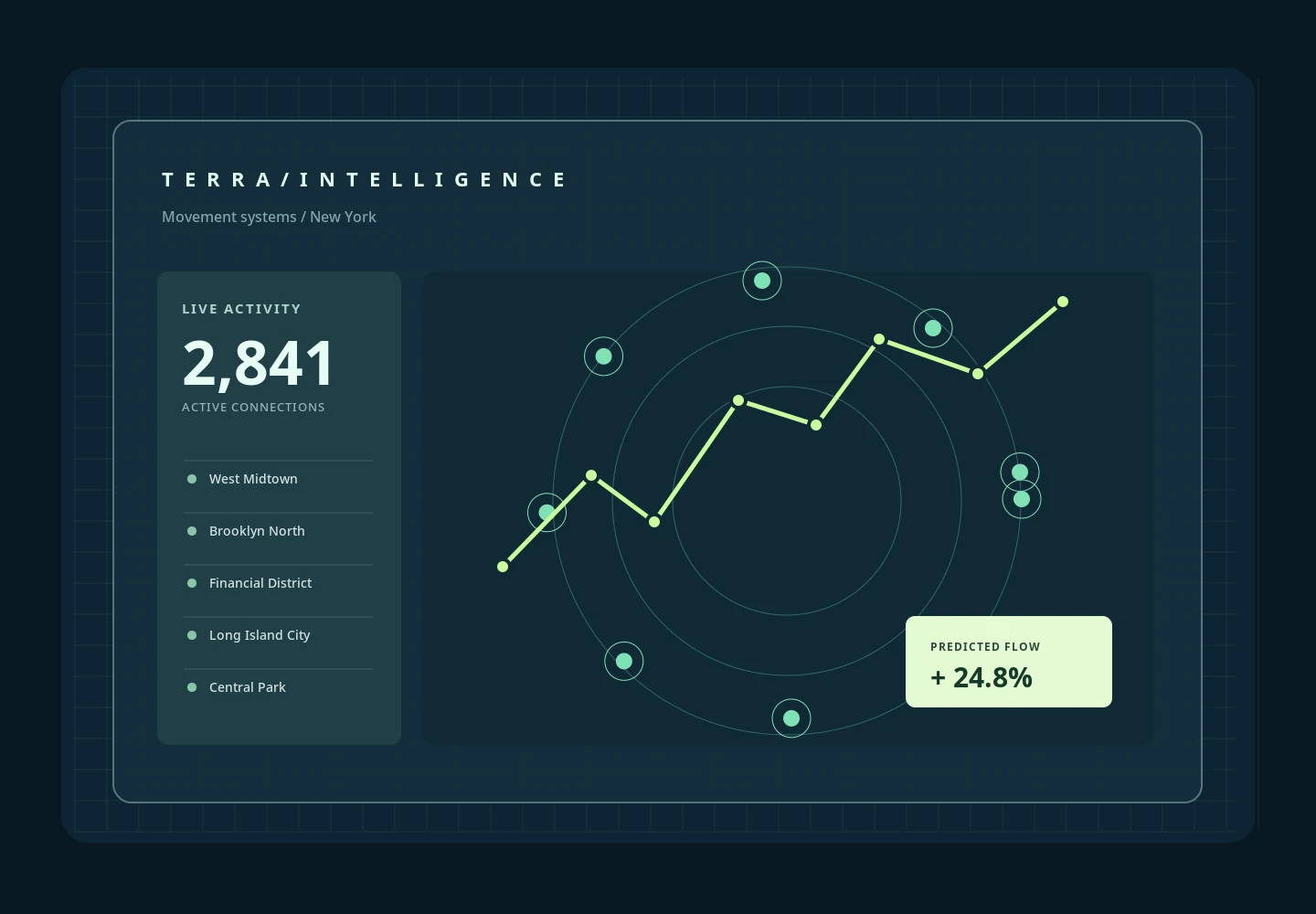
Finding the signal in a moving city.
Location-driven teams need to see change over time, but ordinary charts disconnect movement from place.
The challenge.
Make dense spatial information legible while keeping room for interpretation.
How I approached it
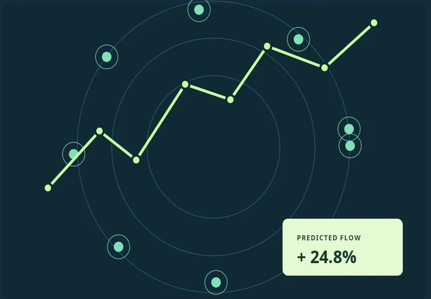
An intentionally restrained mapping surface, layered exploration controls and progressive labels made the experience easier to scan.
Small decisions.
Clear intentions.
Data-model sketching and example route generation
Map layers and visual density rules
Scenario-based analytical questions
Responsive layout tests for narrow viewports
Exploration views
Viewport-specific map layouts
Synthetic demonstration data
A speculative product exploration using illustrative data. No real-world forecasting claim is made.
All metrics, scenarios, screens and outcomes are fictional demonstration content. They are not claims of real client results.